ZOV Maps version 14.18
Main changes: 1) The "Visibility Zone Calculation" task has been reworked, written...
Universal mobile application for navigation, tactical planning and offline coordination of units.
Battle tested by over 355,000 users.

Main changes: 1) The "Visibility Zone Calculation" task has been reworked, written...
ZOV Maps — RP v1.1.pdf ZOV Maps —…
The God of War is on our side! Hurray for the artillerymen! Happy holiday,…
About ZOV Maps app
The basis of work in "ZOV Maps" is the use of geoinformation data in offline mode: cartographic, satellite, phototopographic, thematic, reference, informational, special and others.
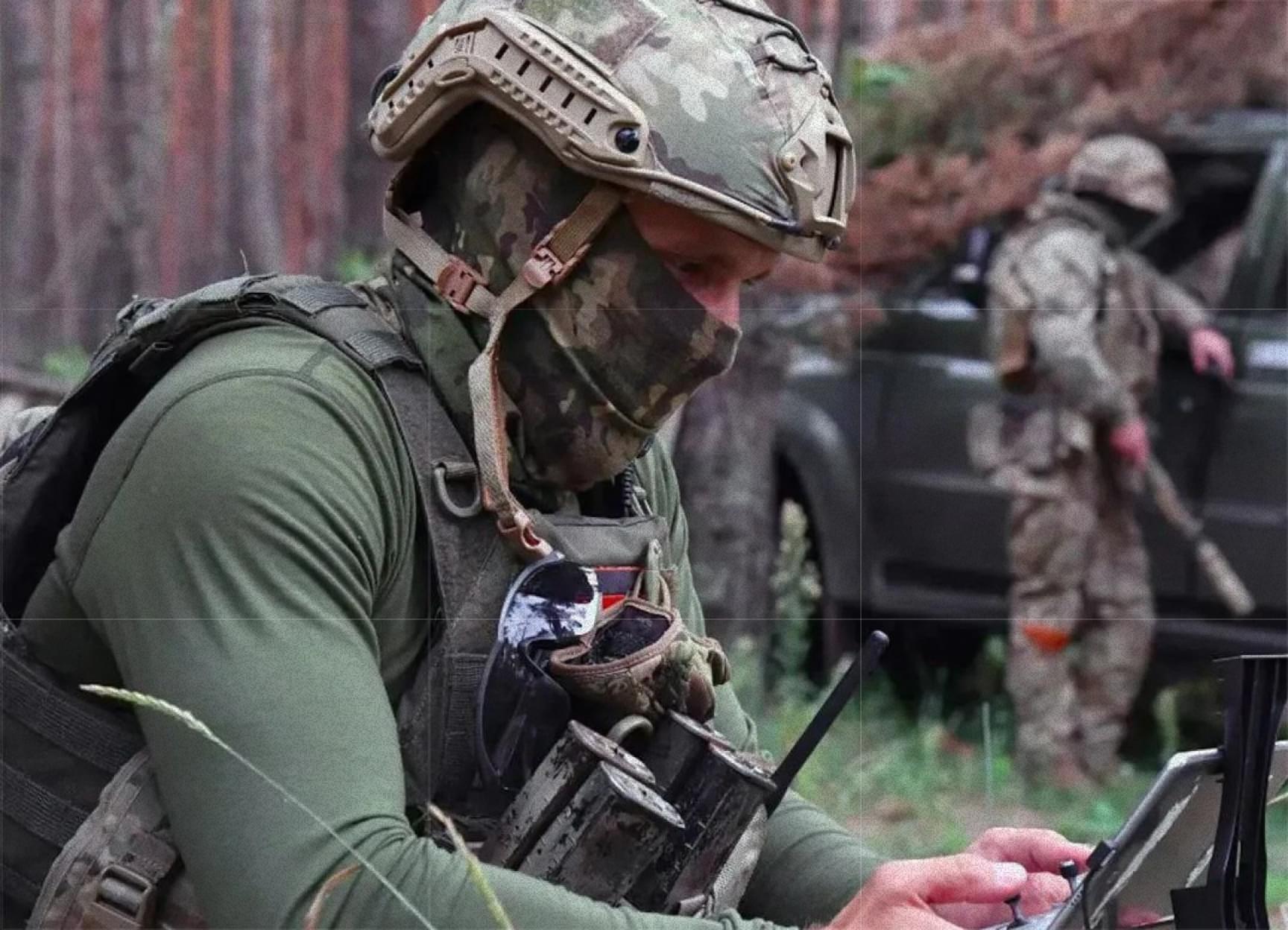
Mobile software and hardware complex "ZOV Maps" is designed for geoinformation support in the performance of special and combat tasks by units of the Ministry of Defence of the Russian Federation, Federal Security Service of the Russian Federation, National Guard Troops of the Russian Federation, EMERCOM of Russia and other federal executive bodies.
Autonomous operation: Full operation without internet access
Safety: Proprietary source code without borrowing. Protection against information leaks
Versatility: Support for all modern Android devices (v9+)
Integration: Joint work with tactical messenger "Quantum"
