
Happy Defender of the Fatherland Day, Valiant Russian Warriors!
23.02.2026 News
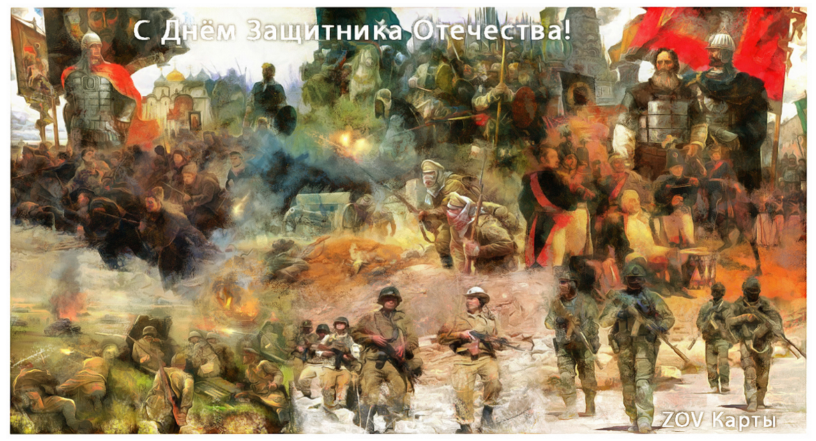
At all times, from the epic heroes of legends to today's...
Russian warriors stood on guard of their native land as an indomitable shield.
Heirs of Great Glory, Keepers of peace and prosperity.
We wish you robust health,
clear skies and a warm home, where you are always welcome!
Wishing you a swift return home and victorious celebrations!
Regards, ZOV Maps team.
download
Other News
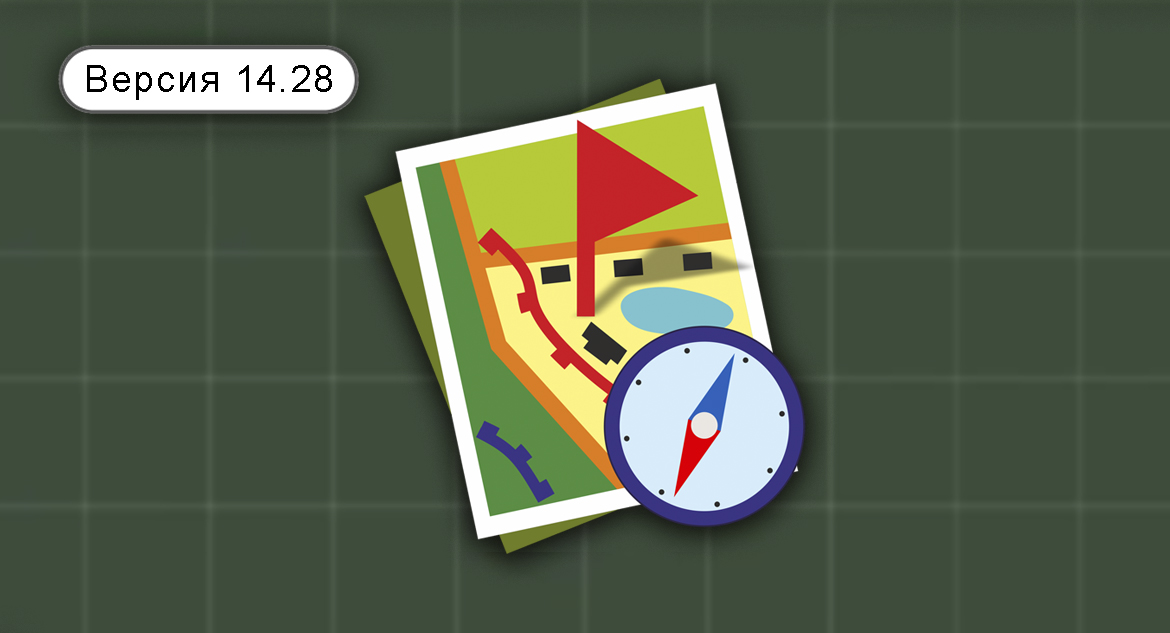
«ZOV Cards» version 14.28
Key changes:Firstly: added an input for the rotation of a point object /…
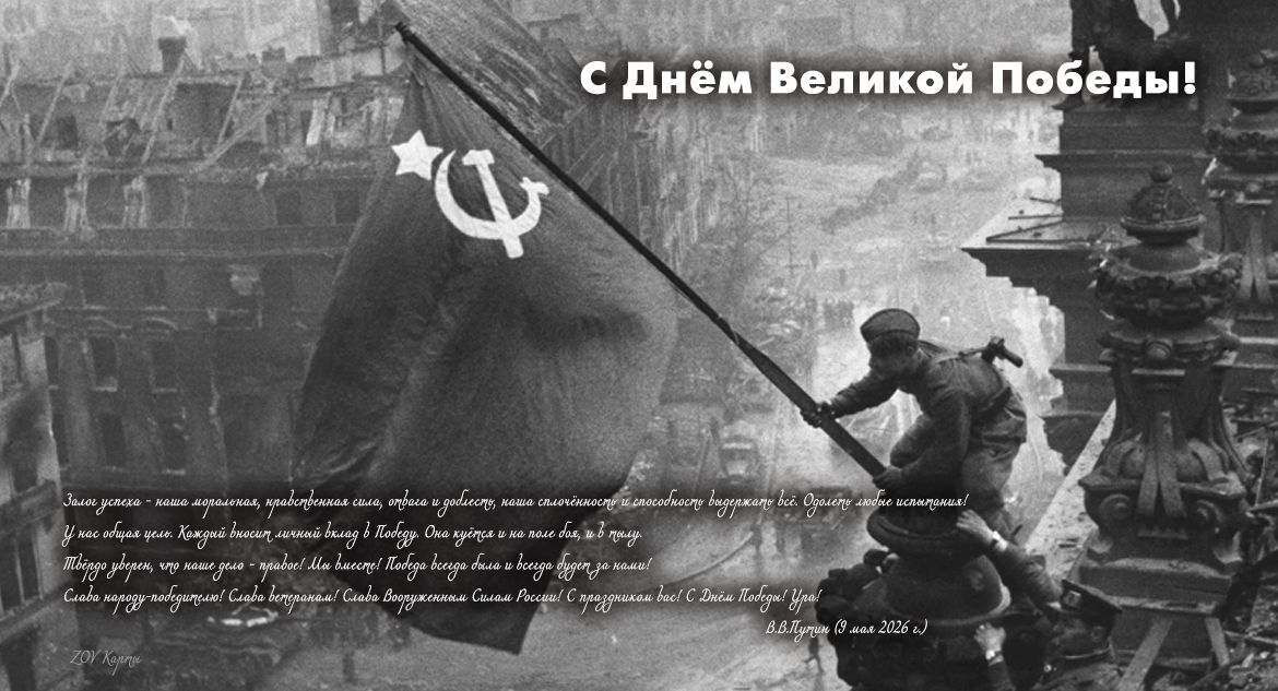
Congratulations on the 81st anniversary of the Great Victory in the Great Patriotic War!
May 9th is Victory Day! This holiday marks...