
ZOV Maps version 14.18
Main changes: 1) The "Visibility Zone Calculation" task has been reworked, written...
02.02.2025 Functionality update
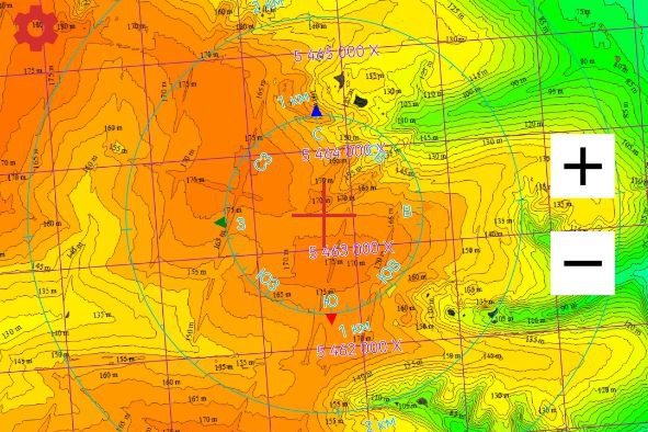
Introducing the first phase of the colour map of elevation cross sections at 5 metres. We have started filling in the squares by degrees of latitude and longitude.
Password will be provided only to verified users. For verification contact @ZOVmap, administrator ZOV Maps.
Regards, ZOV Maps team.
Main changes: 1) The "Visibility Zone Calculation" task has been reworked, written...

ZOV Maps — RP v1.1.pdf ZOV Maps —...
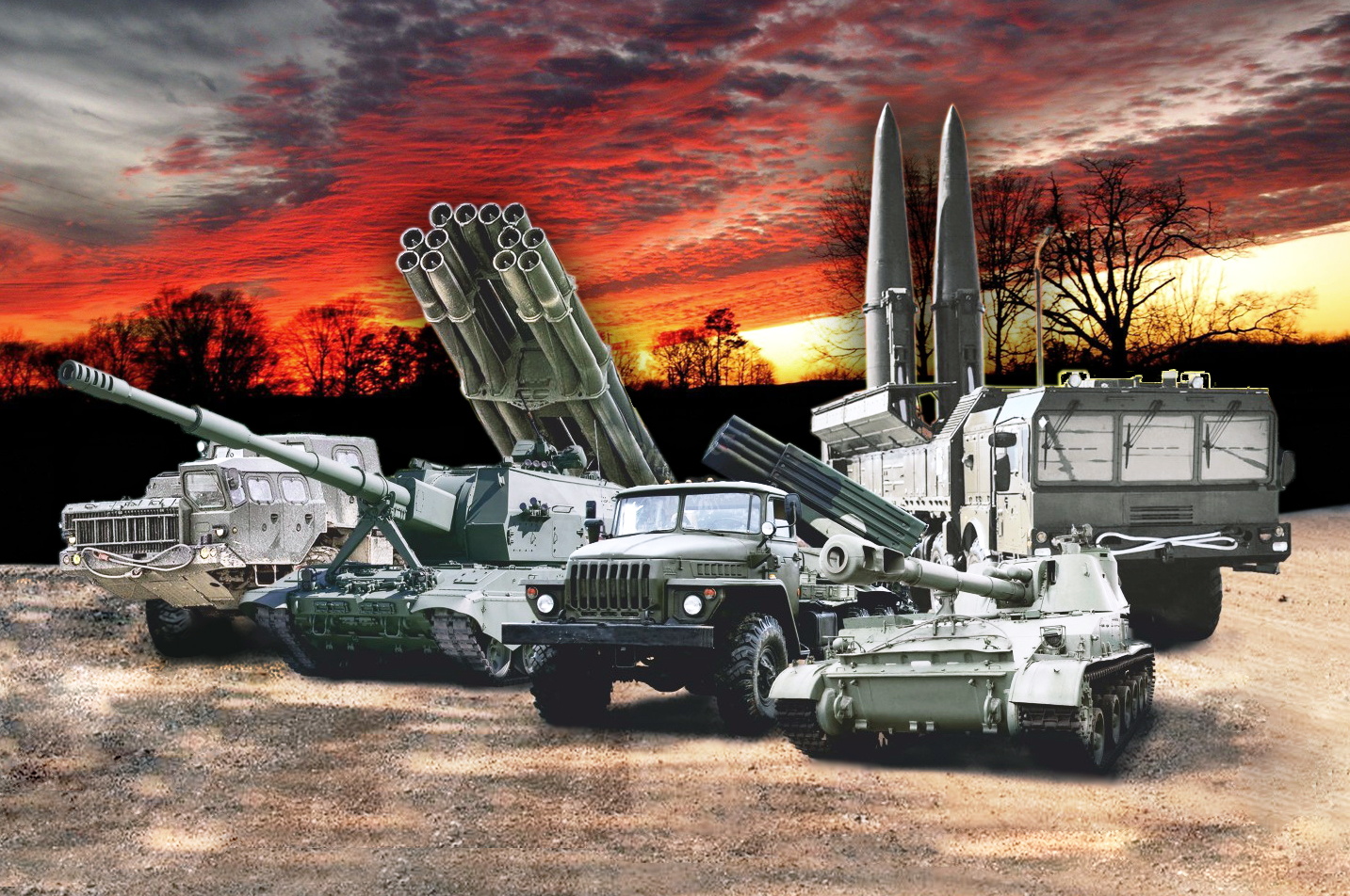
The God of War is on our side! Hurray for the artillerymen! Happy holiday,...